Hawksbill Mountain Trail
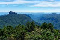
At A Glance


1.1 mi one-way
Difficulty Rating: 1.1 ![]()
Steepness: Climbs Steeply ![]()
Tread Condition: Moderately Rough ![]()
Trail Number: 217
Description
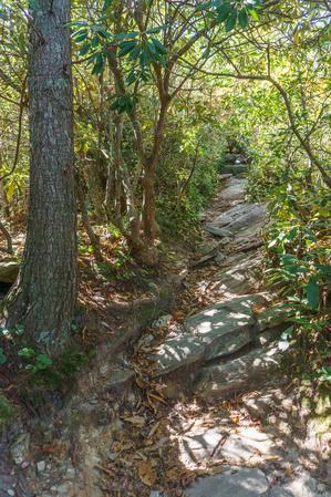
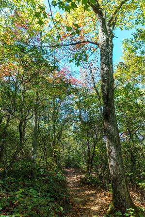
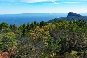
Climbs along a newer alignment from the trailhead parking on Table Rock Road, where the trail is generally in good shape. Passes through a few switchbacks so the lower portion is not too steep. The area is mostly dry, with a forest of oak, maples, sourwood, and the usual mountain laurel and rhododendron everywhere. Look also for the area's shortleaf pine and, my favorite, the Carolina Hemlock. A couple of nice view points open up to the northeast atop small rock outcrops beside the trail.
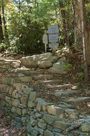
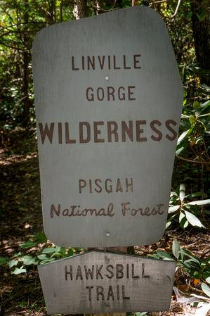
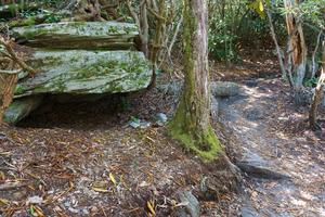
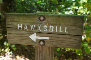
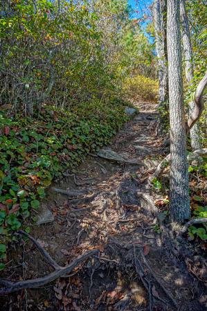
You'll reach a junction at the crest of Jonas Ridge on the rim of the gorge; turn left to continue on the Hawksbill Mountain trail. (This junction usually has a sign, but this is within the wilderness area, so don't count on it). The trail gets considerably steeper, rockier, and eroded past the junction. It wraps around to the south side of the summit and then turns west, straight up the slope; look for a newer side path on the right which includes an extra switchback to make the final climb a wee bit longer but less steep and eroded than the path straight uphill.
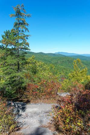
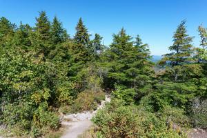
Both paths emerge at a flat spot on the ridge where there is a trail junction in a forest of various shrubs such as blueberry and sand myrtle, Shortleaf Pine, and still-healthy Carolina Hemlock.
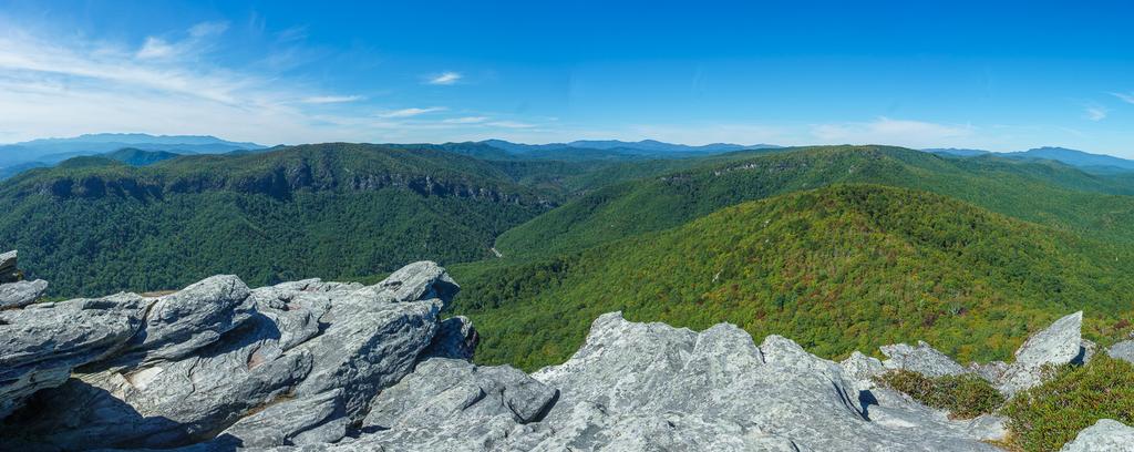
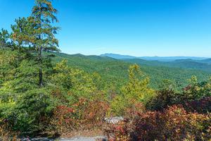
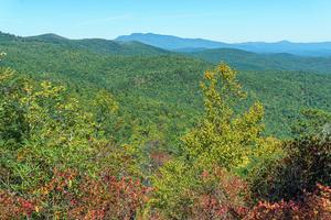
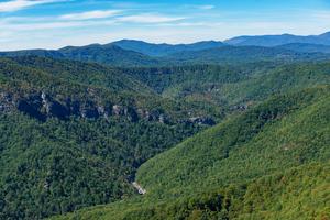
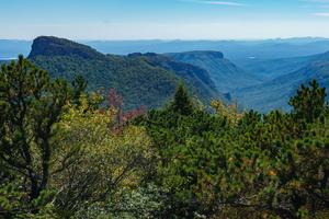
From the junction to the left (south), the trail leads a short distance to a lower rock outcrop with a nice view more to the south and east toward Table Rock, Lake James, Shortoff Mountain and of course the Linville Gorge.
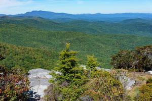
From the junction to the right (north), the path leads to the higher summit with a 360-degree view which also includes the northern part of the gorge, Sitting Bear Mountain, Grandfather Mountain, and the Black Mountains in the distance.
Use caution as there is plenty of flat rock to hang out on near the summit, but there are some significant drop-offs and cliffs around the edges.
Most people hike this as a simple 2.2 mi out-and-back; however, you can combine it with a walk along Table Rock Road, the Sitting Bear trail, and the Jonas Ridge trail for a nice, 3.0 mi loop.
This trail is located in the Grandfather Ranger District area. For a list of all the trails in that area, see the Grandfather Ranger District trails list page.
All Photos from the Trail
Feedback
Ratings
Average Rating: 4.8 (rated 4 times)
Rate It Now:






Ken Temple said: nice morning hike... take the kids, go early, watch the sunrise and praise the God and Father of our Lord Jesus Christ!