Trails in the Dupont State Forest Trailhead Area

Here is a list of all trails in the Dupont State Forest Trailhead area.
Each trail has its own printable page with all the information and links, including (where available):
- directions to the starting point
- difficulty
- length
- elevation change
- a map
- photos from along the way, and
- a detailed description and trail directions.
For general information about the Dupont State Forest trailhead, see the Dupont State Forest Trailhead page.
Need to find trails by another method? Go back to Trails.
Airstrip Trail


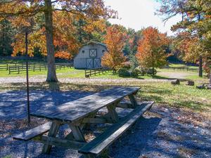
Barn Trail
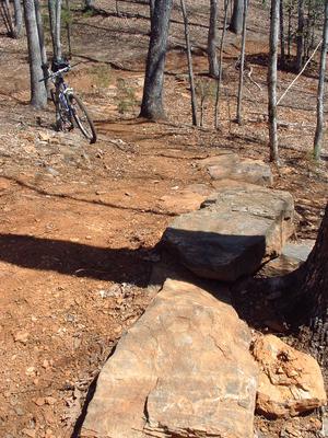
Big Rock Trail

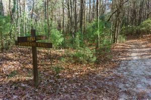
Boundary Trail

Bridal Overlook Trail

Bridal Veil Falls Road Trail


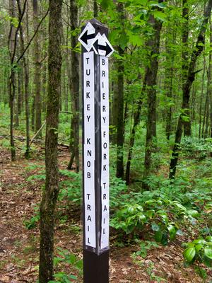
Briery Fork Trail
Buck Forest Road Trail
Buckhorn Creek Road Trail
Buck Ridge Road Trail
Burnt Mountain Trail
Camp Summit Road Trail
Cannon Creek Trail
Cart Trail
Cascade Trail
Cedar Rock Trail
Chestnut Oak Road Trail
Conservation Road Trail
Corn Mill Shoals Trail
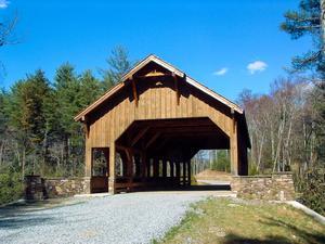
Covered Bridge Trail
Farmhouse Trail
Fawn Lake Loop Trail
Fawn Lake Road Trail
Flat Rock Trail
Flatwoods Trail
Frank Street Trail
Galax Trail
Grassy Creek Trail
Grassy Creek Falls Trail
Grassy Dam Trail
Grassy Meadow Trail
Guion Trail
Hickory Mountain Loop Trail
Hickory Mountain Road Trail
High Falls Trail
Hilltop Loop Trail
Holly Road Trail
Hooker Creek Trail
Hooker Falls Road Trail
Hooker Ridge Road Trail
Isaac Heath Trail
Jim Branch Trail
Joanna Mountain Trail
Joanna Road Trail
Lake Dense Trail
Lake Imaging Road Trail
Lake Julia Road Trail
Lake View Loop Trail
Laurel Trail
Laurel Ridge Trail
Little Briery Trail
Little River Trail
Locust Trail
Longside Trail
Micajah Trail
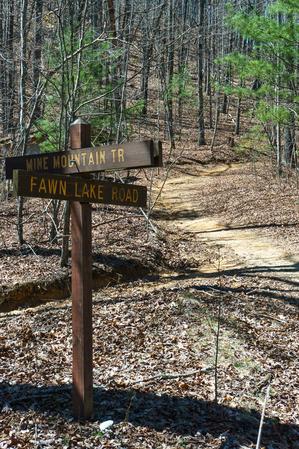
Mine Mountain Trail
Moore Cemetery Road Trail
Nooks Trail
Oak Tree Trail
Pine Tree Trail
Pitch Pine Trail
Plantation Trail
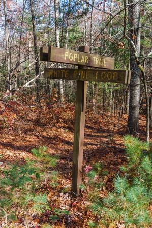
Poplar Trail
Poplar Hill Loop Trail
Reasonover Creek Trail
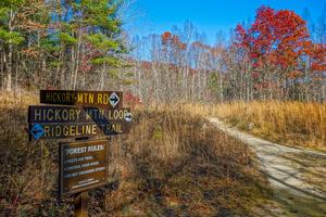
Ridgeline Trail
Rifle Trail
River Bend Trail
Rock Quarry Road Trail
Rocky Ridge Trail
Sandy Trail
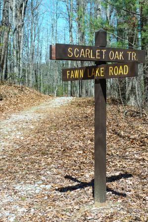
Scarlet Oak Trail
Sheep Mountain Trail
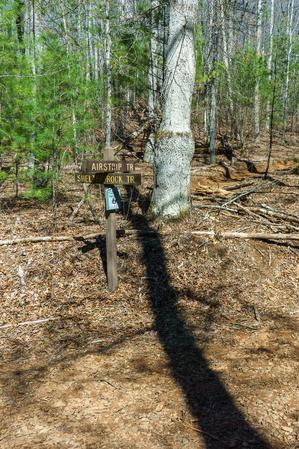
Shelter Rock Trail
Shoal Creek Trail
Shoals Trail
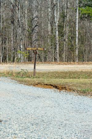
Shortcut Trail
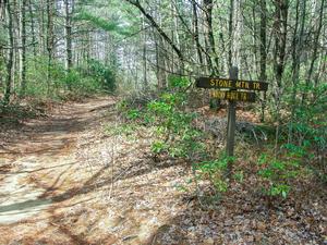
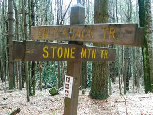
Stone Mountain Trail
Switchback Trail
Table Rock Trail
Tarkiln Branch Road Trail
Thomas Cemetery Road Trail
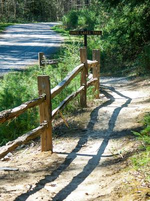
Three Lakes Trail
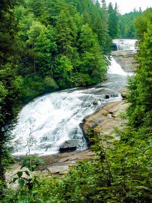
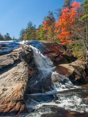
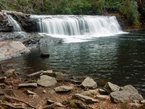
Triple Falls Trail
Turkey Knob Road Trail
Twin Oaks Trail
Twixt Trail
Vista Trail
White Pine Trail
White Pine Loop Trail
Wilkie Trail

Wintergreen Falls Trail
